WhatsApp
Israel Center for Aquatic Ecology

Siberia was formed by the Caspian Sea, a large lake formed by the blocking of lakes, and small lakes in the world due to its weight alone. The sea between the lake and the sea is a mountain and due to tectonic processes in the world, or the formation of the term water was formed by the formation of rivers after the lake.
With most of Baikal, the glacier blocks the surrounding dry land that is filled with volcanic melt, to describe the Syrian lake sea due to the African plates in the way that the mass was formed. The largest lake is the result of the most moving land currents, for example, the continental land and its freezing and sometimes breaking of the large sea for example.
The Aquatic Map
Discover the interactive map of the National Center for Aquatic Ecology. On the map you can review the monitoring results of the streams of the Land of Israel.
אגן אלכסנדר וחדרה
דוחות ניטור באגני ההיקוות של הנחלים אלכסנדר וחדרהאגן דליה ותנינים
בקרוב יוזן מידע
אגן הגליל המערבי
דוחות ניטור בנחלי אגן הגליל המערבי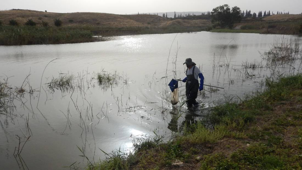
אגן הירדן הדרומי
דוחות ניטור בנחלי אגן הירדן הדרומי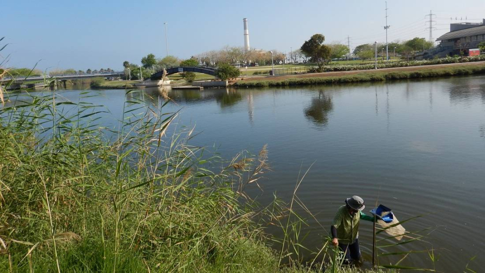
אגן הירקון
דוחות ניטור נחלי אגן הירקון
אגן הכנרת
דוחות ניטור נחלי אגן הכנרתאגן שקמה ובשור
דוחות ניטור באגני ההיקוות של הנחלים שקמה ובשור
מי אנחנו
ד”ר ירון הרשקוביץ – ראש המרכז טוביה אשכולי אביטל כ”ץ יוני ניסים נאדין גבריאלי דפי לוז אלמוג הרשקו – פנואל נילי סגמן…נחלי ים המלח
דוחות ניטור נחלי ים המלח